Take a Tour
Irish Hills Area County Maps
The Irish Hills area of Michigan includes the following counties shown below.
Click on a map to enlarge.
Jackson

Hillsdale

Lenawee

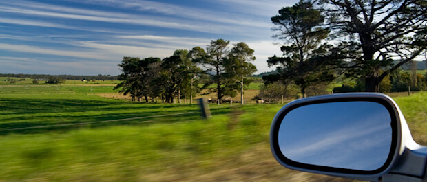
Self Guided Tours
State Suggested Scenic Roads
| Road Name | Location | Miles |
|---|---|---|
| Grassy Lake Road | From Marr Highway to Prospect Hill Highway | 1.35 |
| Comfort Road | From Raisin Center Highway to Rogers Highway | 0.98 |
| Taylor Road | From Carson Highway to Wisner Highway | 1.07 |
| Killarney Highway | From M-50 to US 12 | 1.80 |
| Marsh Road | From Sand Lake to Springville Highway | 1.05 |
| Prospect Hill Highway | From Grassy Lake Road to Marr Highway | 1.52 |
| Total Roads: 6 | Total Miles: 7.77 |
Suggested Fall Color Tour
Click here to download our fall colors tour map
- Begin your fall color tour on M-50 at Hidden Lake Gardens
- West on M-50
- North (right) on Pentecost Hwy.
- West (left) on US-12
- North (right) on Wamplers Lake Rd./M124/Hayes State Park Entrance
- South (left) on Pink St.
- East (left) on US-12
- South (right) on Springville Hwy.
- West (right) on M-50
- West (left) on Laird Rd., turns into Prospect Hill Hwy.
- West (right) on Vischer Rd.
- North (right) on Round Lake Hwy.
- East (right) on US-12
- North (left) on Brooklyn Rd.
- North (left) on M-50 to the Village of Brooklyn